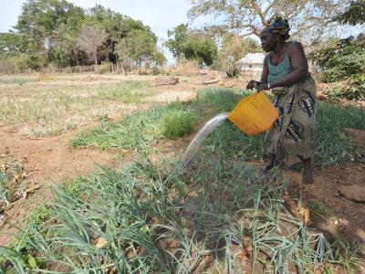
Climate and non-climate stressors have a significant influence on the status and evolution of Gambia’s natural endowments. Climate change and variability in particular, best exemplified by a negative step trend in rainfall in the late 1960s, and persisting into the present, has placed tremendous pressure on natural resources and ecosystems.
Sectoral adaptation options prioritized according to relative merit are integrated into project concepts including those that address the impairment of ecosystem goods and services and the amplification of adverse effects of climate change by human factors.
Located between 13 and 14ºN and between 13.7 and 17ºW, the Gambia, occupies a land area of 10,690 sq. km making it the smallest country in mainland Africa. A sliver of land 15 to 80 km wide, extending more than 400 km from the Atlantic Ocean, the country is dissected into northern and southern areas by the River Gambia which runs from East to West and debouches into the Atlantic Ocean.
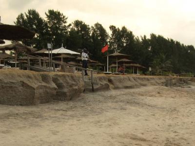
With nearly 50 per cent of its total land area under 20 metres above mean sea level, one-third at or below 10 metres above sea level, and 10 to 20 per cent seasonally or diurnally flooded, The Gambia has little pronounced topographic features to boast of (see Figure 2). Indeed, its low elevation puts some areas of the country such as the capital city of Banjul at significant risk from sea level rise.
Projects Completed
Latest Updates
See all7 November, 2019, Banjul, The Gambia - In November, representatives from Gambian ministries gathered for the National Workshop on…


