Sierra Leone has a tropical climate with two distinct seasons. The Dry Season (December to April) is dominated by winds from the northeast (i.e. the North-east trades), and the rainy season (May to November). Both seasons may have some variations in the commencement and duration.
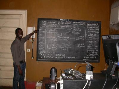
Sierra Leone has developed many adaptation projects to address adverse effects of climate change based on existing coping mechanisms and practices such as Develop and enact appropriate policies and regulations relevant to the development of coastal communities, urban growth planning, and critical coastal ecosystems preservation and the Establishment of a National Sea- Level Observing System for Sierra Leone.
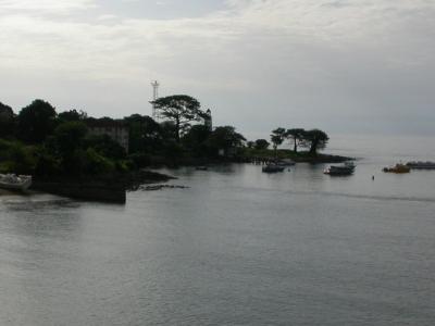
Sierra Leone has an area of 72,325 km2 between latitudes 6055’ and 10000’ North and between longitudes 10014’ and 13017’ West. The coastal zone of Sierra Leone extends for a distance of about 465 km. The configuration of the coastline and international boundaries of Sierra Leone encloses a very compact country. Sierra Leone is bordered in the northeast by the Republic of Guinea, in the south and southeast by the Republic of Liberia and in the west by the North Atlantic Ocean.
Climate Change is known to have adversely affected the environment, Agriculture, Food Security, and even the lives and livelihood of large communities. Fishermen are known to have lost their lives in storms and passenger boats have encountered weather-related accidents – even though some go unreported Flooding is known to have affected agriculture and habitats of people in Sierra Leone and their suffering aggravated by the attending health problems of water-borne diseases (typhoid dysentery cholera and diarrhea) due to lack of safe drinking water.
Projects Completed
Latest Updates
See allGEF-financed project will promote climate-resilient livelihoods for 116,000 people and restore 500 hectares of mangroves
Latest Publications
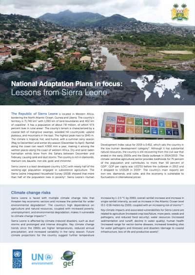
See allThis NAP in focus country briefing on the process to formulate and implement National Adaptation Plans in Sierra Leone considers firstly the…
